King's St Alban's
23 January
Exploring Four-Figure Grid References in Geography with Year 4
Year 4 delved into the exciting world of maps and mapping during their Geography lesson this week, focusing on mastering four-figure grid references. This vital map-reading skill is a cornerstone of understanding how to navigate and interpret Ordnance Survey maps, and the pupils approached it with enthusiasm and curiosity.
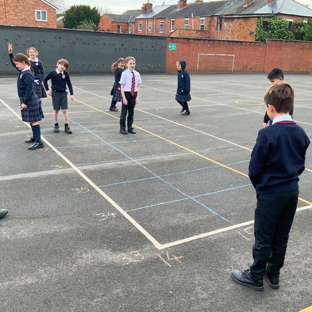
To bring the concept to life, the lesson began outside on the playground, where the children explored the idea of Eastings and Northings. By using a large-scale grid drawn on the ground, they took on the challenge of ‘plotting’ themselves as coordinates. This hands-on activity allowed them to physically experience how grid references work and see the system in action.
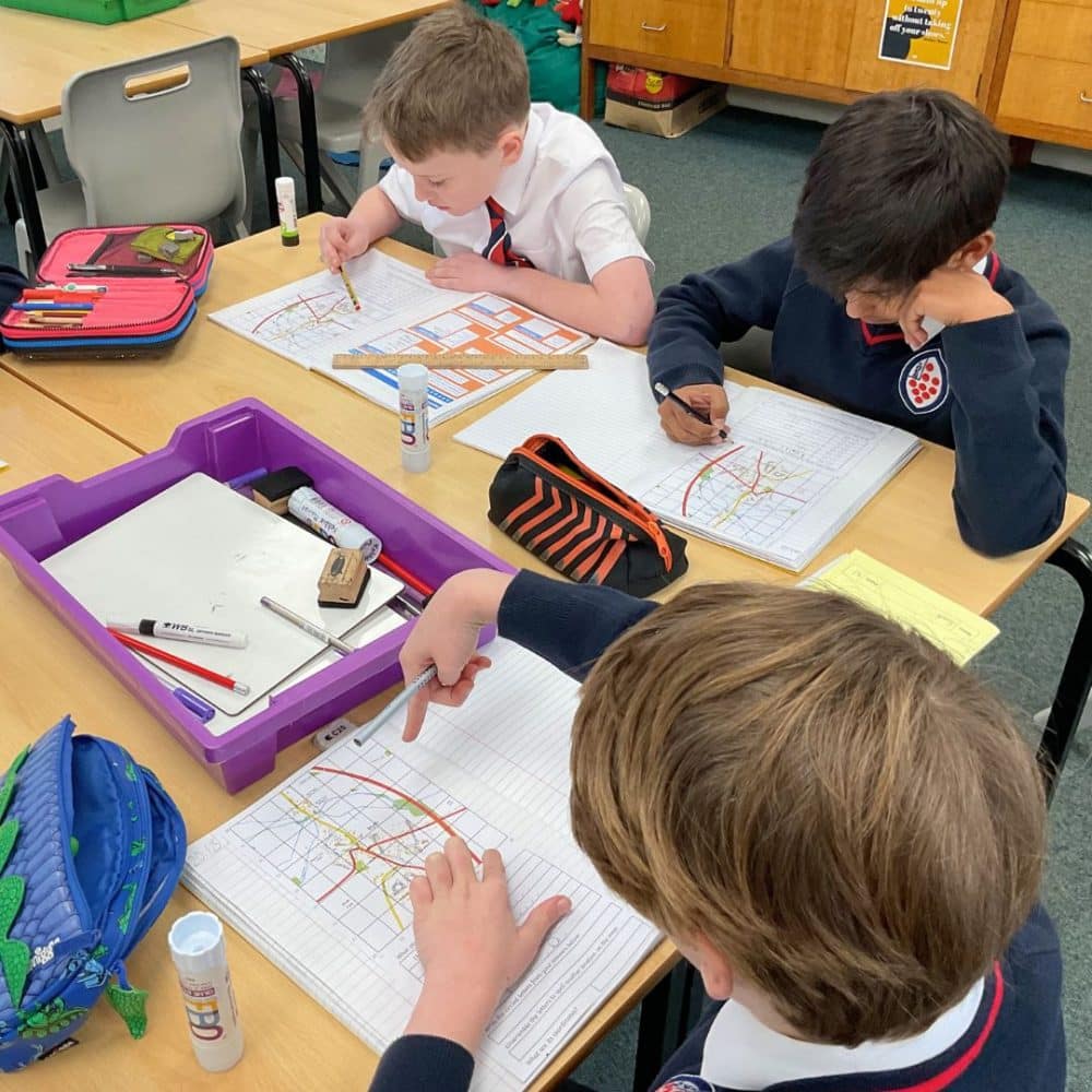
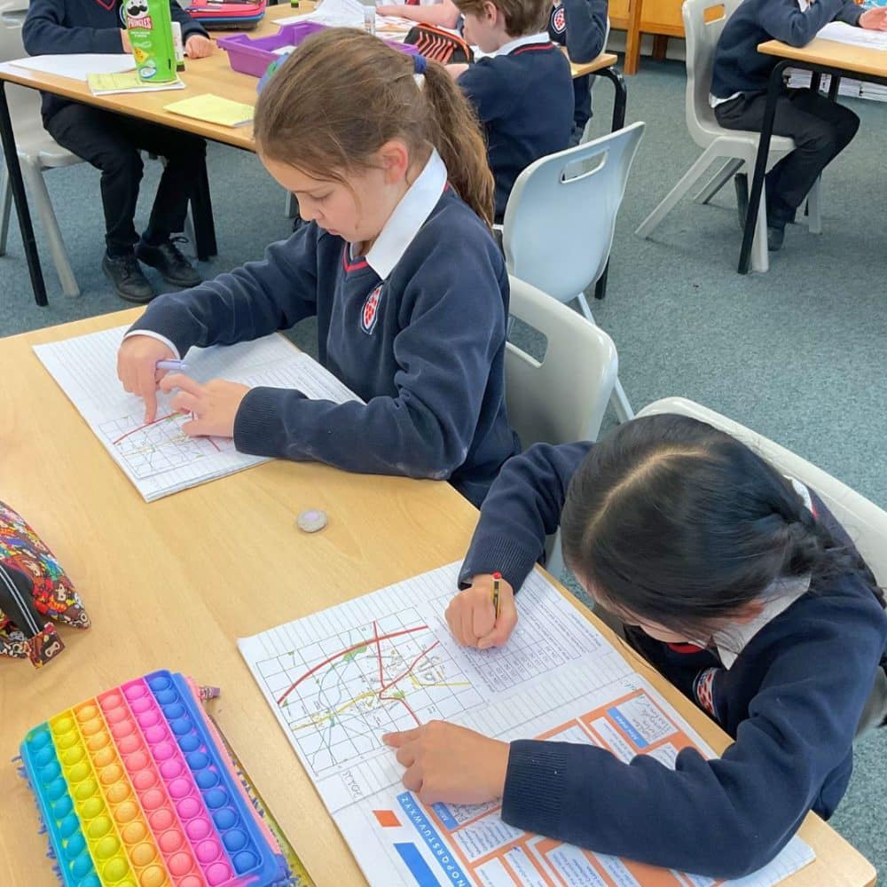
Once back in the classroom, the pupils transferred their new skills to real-world map reading. Working with Ordnance Survey maps, they applied their understanding of grid references to crack a code and uncover a hidden location. The task required teamwork, problem-solving, and close attention to detail, which the children tackled with determination and excitement.
The session was a perfect mix of active learning and practical application, reinforcing essential geography skills in an engaging and memorable way.